

Brunswick Old Town
*
Brunswick Old Town *
-
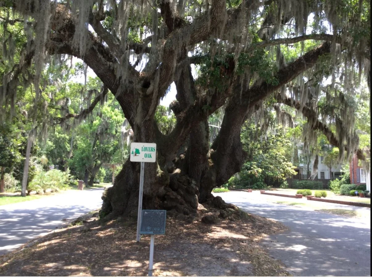
Tree Name: Lovers Oak
Tree Number: 1
Location: Prince and Albany
Latitude/Longitude: 31.14238,-81.48649
Girth: 35’ 1”
History: Lover’s Oak is said to date back to the 12th century. According to local legend, Native American braves and maidens would meet under the enormous oak. Its measurements were updated in 2016.
-
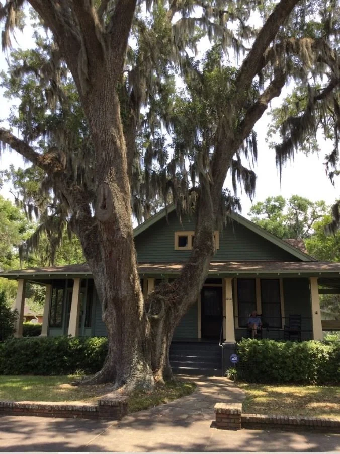
Tree Name: Sadie Ferguson
Tree Number: 164
Location: 1200 Prince
Latitude/Longitude: 31.142168,-81.487191
Girth: 25’ 11”
History: The house at 1200 Prince Street in Brunswick was built for the two sisters Edna and Sadie Ferguson in 1919.
-
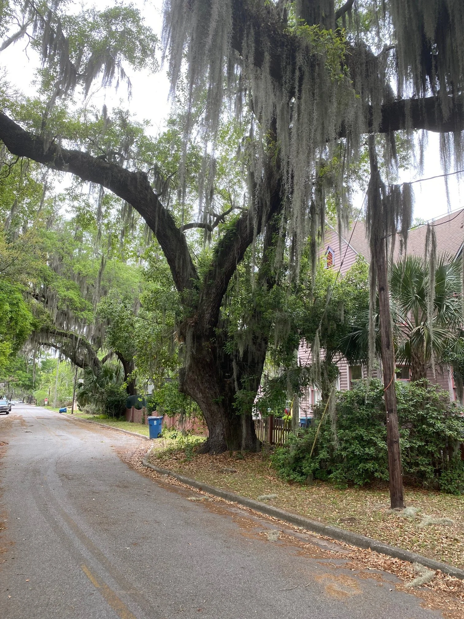
Tree Name – Captain Mark Carr
Tree Number: 302
Location: 903 Dartmouth
Latitude/Longitude: 31.139241,-81.487879
Girth (feet): 21’ 1”
History: Mark Carr (1702-1767) came to Georgia in 1738 as an officer in the English forces located on St. Simons Island: Established a plantation known as "Carr’s Fields" and maintained a military outpost on the site of the City of Brunswick; assisted in repelling the Spanish Invasion of 1742; and held many positions of honor and trust in which he gave loyal service to the Colony of Georgia
-
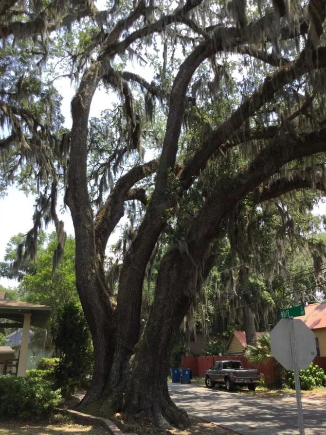
Tree Name – Edna Ferguson Oak
Tree Number: 163
Location: 1200 Prince
Latitude/Longitude: 31.142369,-81.487116
Girth (feet): 20’10”
History: The house at 1200 Prince Street in Brunswick was built for the two sisters Edna and Sadie Ferguson in 1919.
-
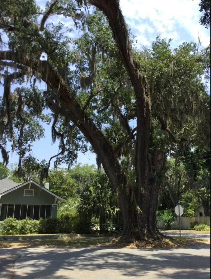
Tree Name – Albany Albemarle Oak
Tree Number: 125
Location: Albany and Albermarle
Latitude/Longitude: 31.141301,-81.486102
Girth (feet): 17’ 11”
History: Name adjusted to match LGC Name Located oa the corner of Albany and Albemarle
-
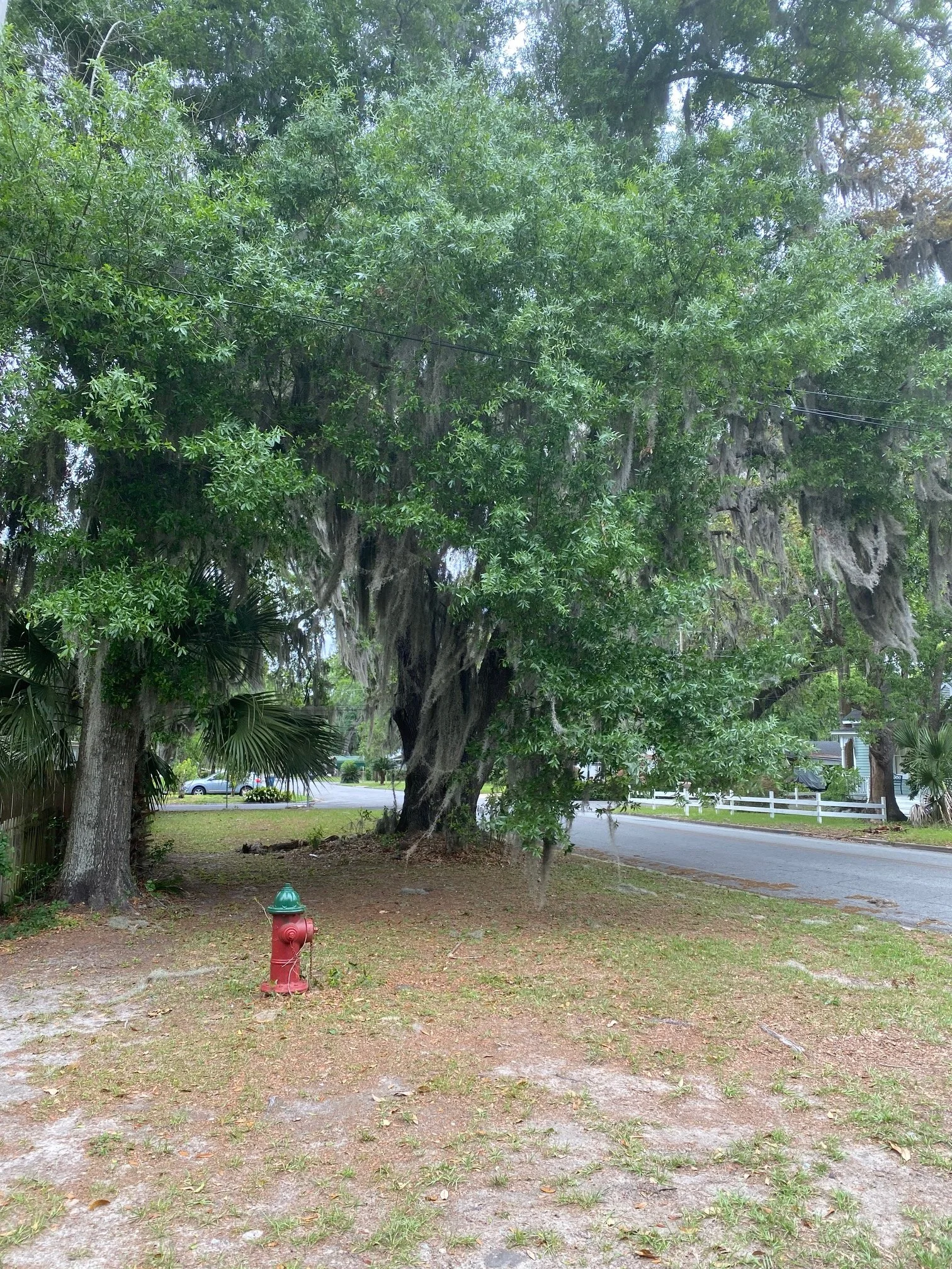
Tree Name: Carr's Fields Oak
Tree Number: 235
Location: 702 Norwich St
Latitude/Longitude: 31.1394,-81.487344
Girth: 16’ 6”
History: Mark Carr established a plantation known as "Carr’s Fields"on the site of the City of Brunswick
-
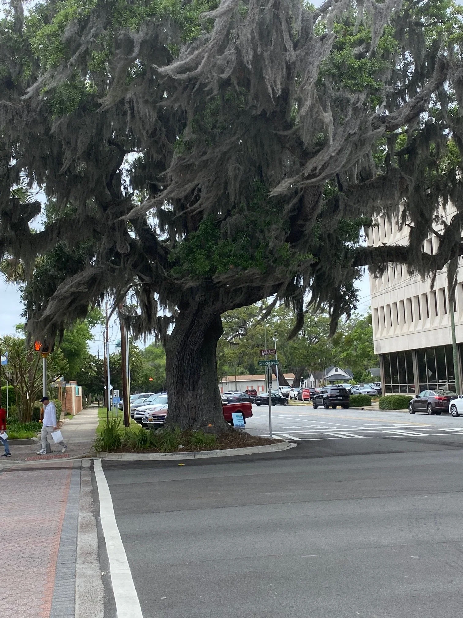
Tree Name: Fernando J Torras
Tree Number: 231
Location: 601 Gloucester St
Latitude/Longitude: 31.14967,-81.4935
Girth: 15’ 4”
History: Fernando Joseph Torras (1885–1952) Brunswick City Manager for 30 years who preserved the natural beauty of his city against the encroachment of traffic. He is best known as the main engineer for the causeway from Brunswick to St Simons Island. He graduated as an engineer from Georgia Tech. After his schooling, he built rail lines, bridges, and roads in the jungles of South America and took a keen interest in the idea of a causeway. He conducted a survey of the marshy landscape at the request of Brunswick mayor Malcolm B. McKinnon and determined the best possible route. Torras served as the Chief Engineer on the project. The causeway was completed in 1924 after 13 months of work at a cost of more than $418,000.
-
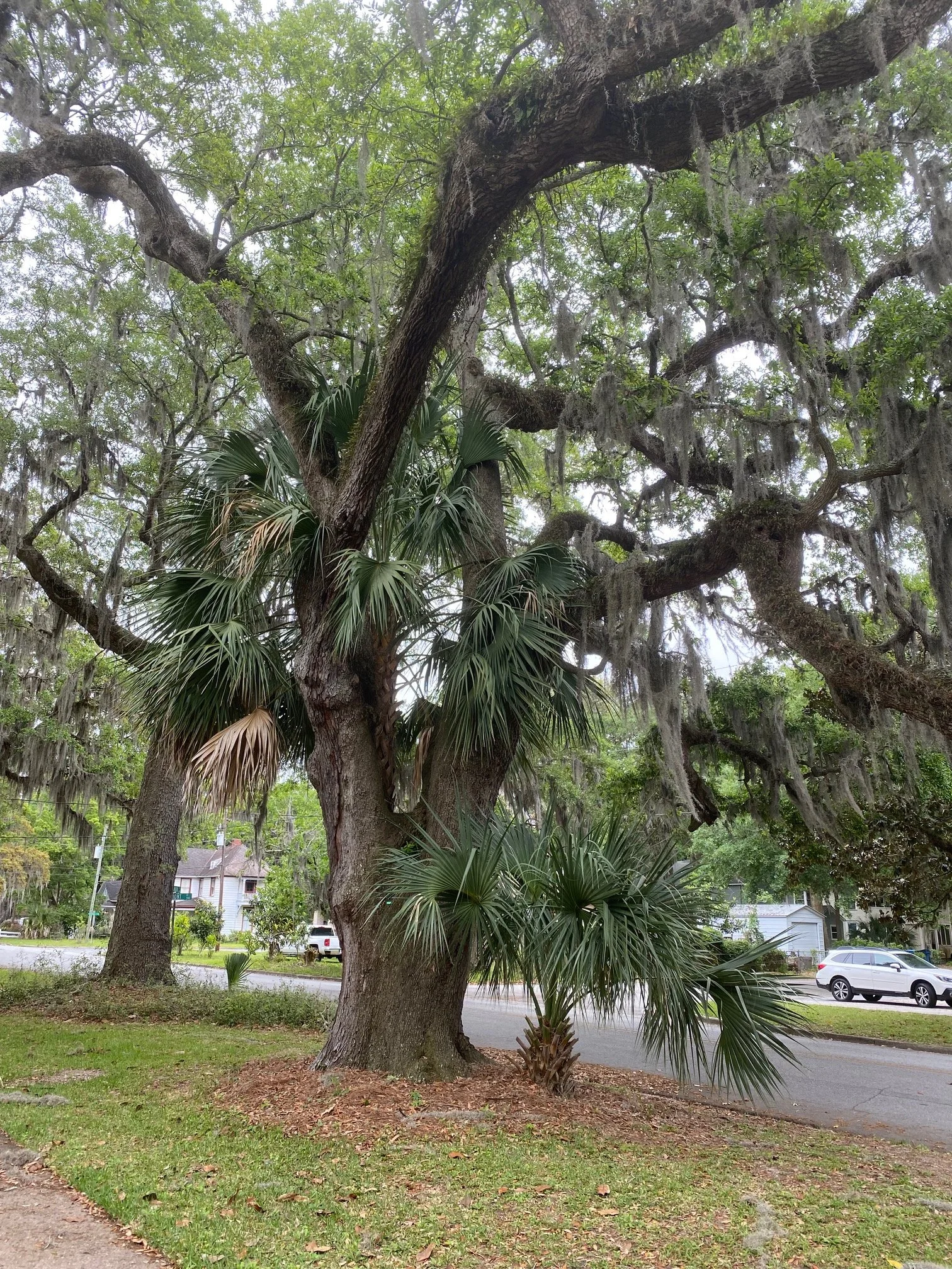
Tree Name: Plug Point 1
Tree Number: 232
Location: 807 Dartmouth
Latitude/Longitude: 31.139141,-81.488166
Girth: 13’ 2”
History: Brunswick became a British settlement in 1738 after Mark Carr, Captain in General James Oglethorpe’s company, arrived at our shores. Upon landing, Carr established “Plug Point”, the 1,000 acre tobacco plantation along Turtle River. It's modern day location is Dartmouth Street and First Avenue.
-
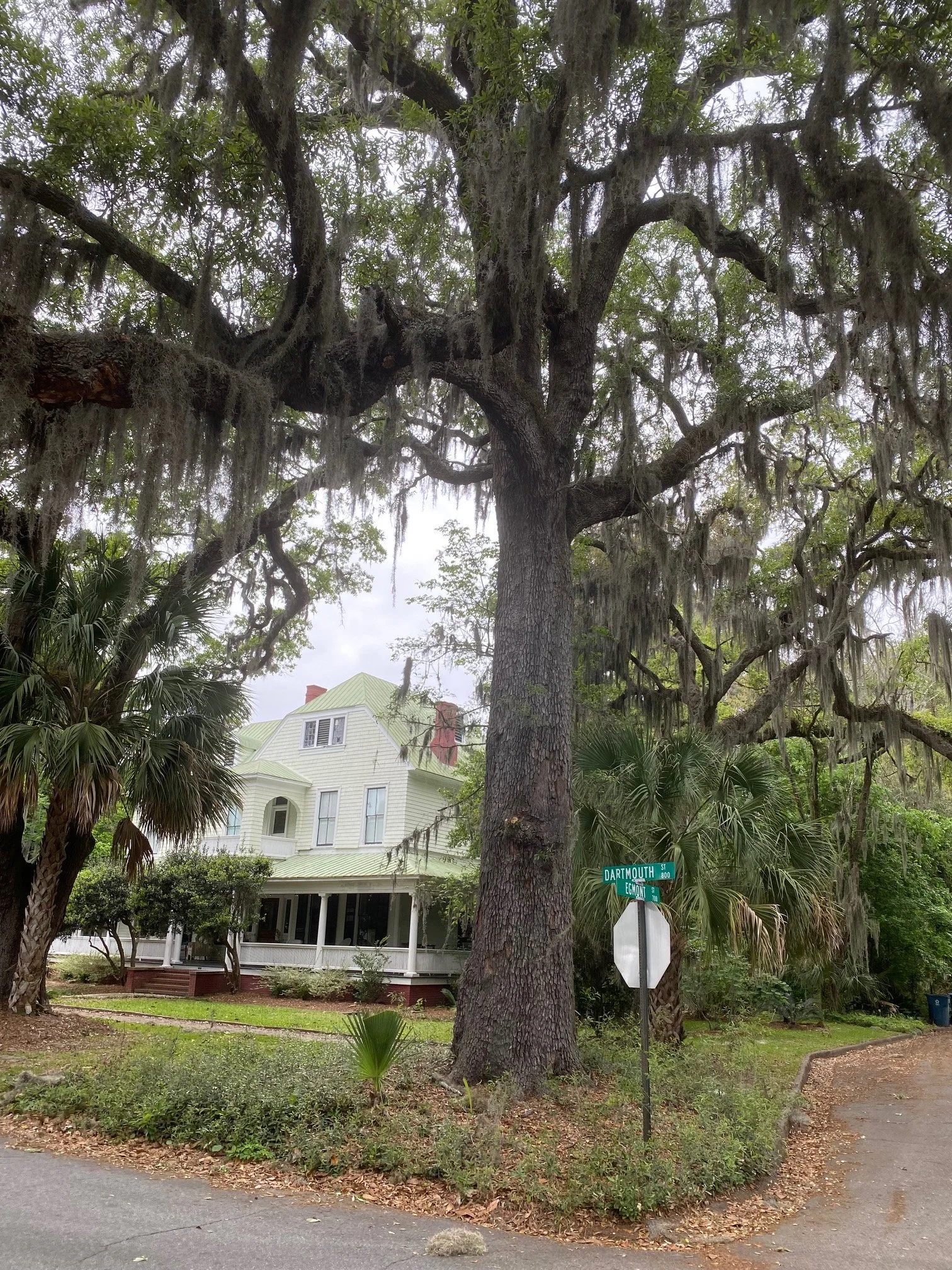
Tree Name: Plug Point 2
Tree Number: 233
Location: 807 Dartmouth
Latitude/Longitude: 31.139187,-81.48806
Girth: 12’ 0”
History: Brunswick became a British settlement in 1738 after Mark Carr, Captain in General James Oglethorpe’s company, arrived at our shores. Upon landing, Carr established “Plug Point”, the 1,000 acre tobacco plantation along Turtle River. It's modern day location is Dartmouth Street and First Avenue.